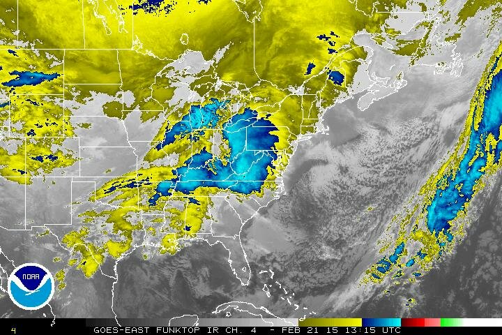
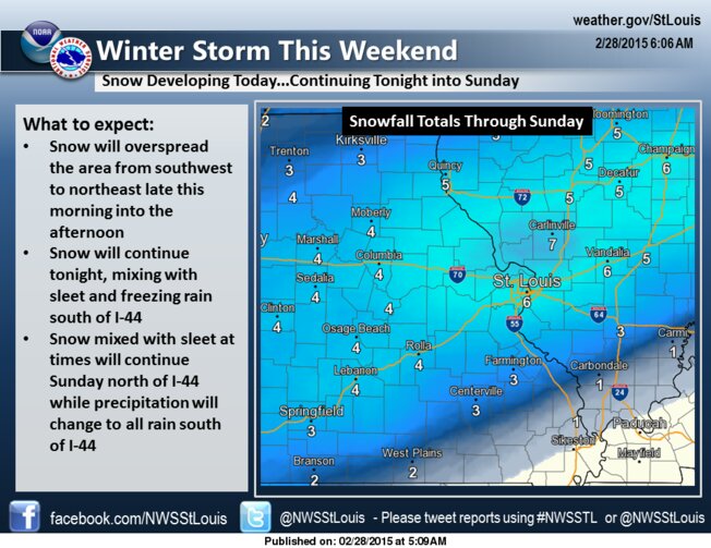
Winter Storm Warning in effect until 12:00 Noon CST.
Today: Snow, freezing rain, and sleet before 1pm, then a chance of rain and snow between 1pm and 3pm. High near 33. Northwest wind 3 to 8 mph. Chance of precipitation is 80%. Little or no ice accumulation expected. Total daytime snow and sleet accumulation of less than one inch possible.
Tonight: Cloudy, with a low around 13. North wind 5 to 13 mph.
Sunday: Mostly cloudy and cold, with a high near 19. North wind 14 to 17 mph.
Sunday Night: Mostly cloudy, with a low around -1. Wind chill values as low as -10. North wind 8 to 14 mph.
Monday: Mostly sunny and cold, with a high near 15. North wind 5 to 8 mph becoming west in the afternoon.
Monday Night: Partly cloudy, with a low around 4.
Tuesday: Mostly sunny, with a high near 35.
Tuesday Night: Partly cloudy, with a low around 14.
Wednesday: Mostly sunny, with a high near 28.
Wednesday Night: Mostly cloudy, with a low around 11.
Thursday: Mostly cloudy, with a high near 21.
Thursday Night: Mostly cloudy, with a low around 8.
Friday: Partly sunny, with a high near 23.
#AltonIL #ilwx #mowx #stlwx #PeacefulAlton #ClarkBridge #EagleWatching #GreatRiverRoad #Confluence #RobertWadlow

 RSS Feed
